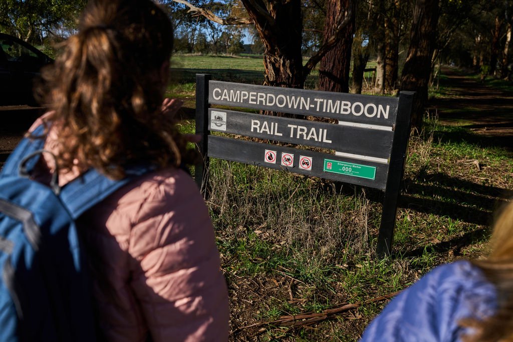


CAMPERDOWN TO TIMBOON RAIL TRAIL
A 41.9km odyssey skirting volcanic lakes and rolling dairy country before descending into cool temperate forest gullies along the course of the Curdies River.
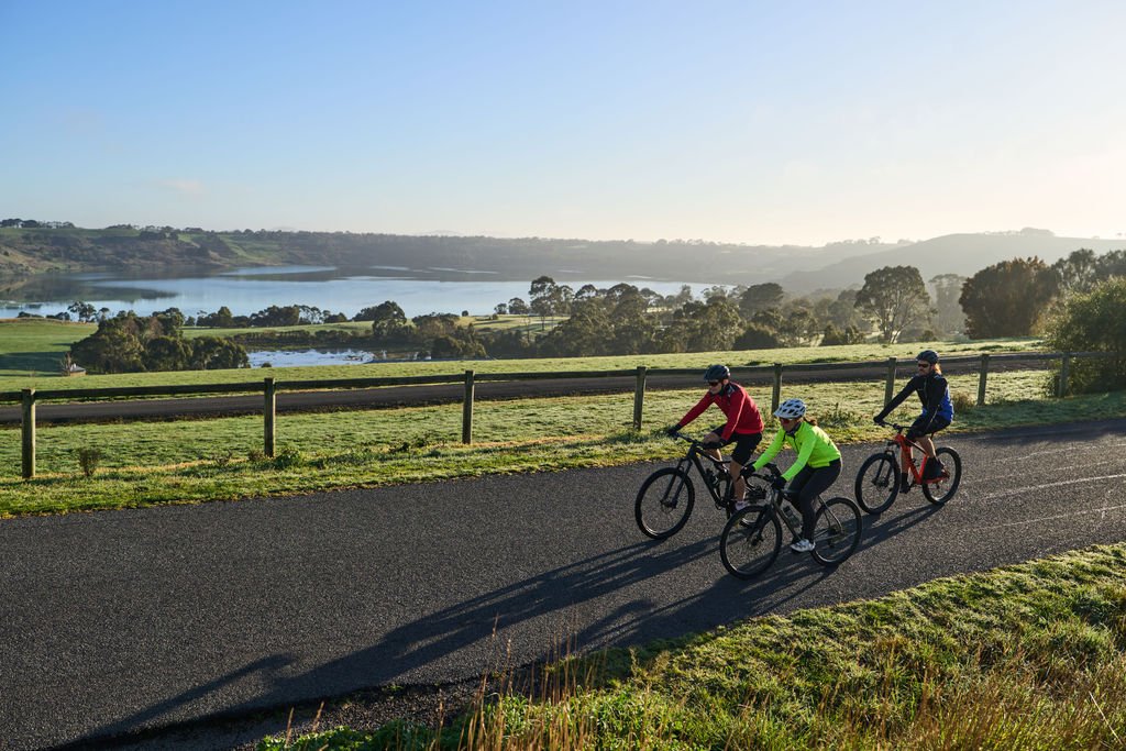
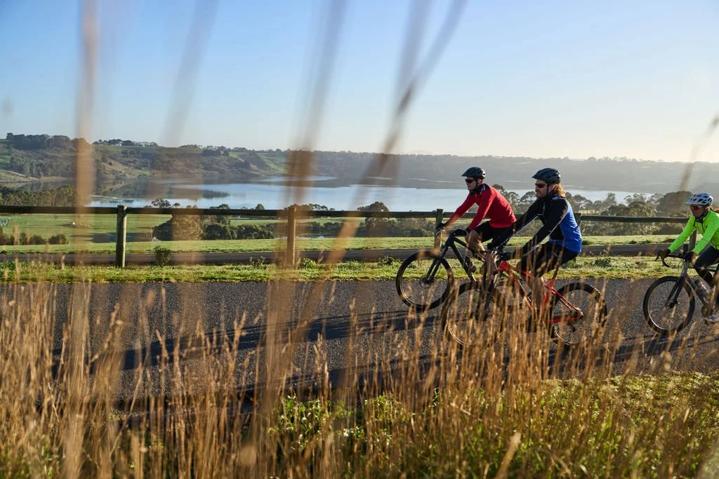
The first section commences with a climb beyond the historic streetscapes of Camperdown delivering views across volcanic lakes on a picturesque 11km on road journey to the trailhead at Naroghid.
(This section is not recommended for walkers or inexperienced riders).
Naroghid to Timboon via Cobden presents a 31 km off-road trail adventure dotted with statuesque trestle bridges and riverside fern gullies sheltered beneath a tall forest canopy.
Key Information



Distance: 41.9km
Difficulty: Moderate - Challenging (bike) Moderate (walk)
Estimated Time: Bike 3 - 6 hrs | E-bike 3 – 5 hrs | Walk 8 - 12 hrs
Trail Type: On-road, crushed gravel, paved, narrow rough sections, bridges. 71% paved 29% unpaved. Maximum Gradient Range 8.5% -9% on road between Camperdown and Naroghid. Walking is not advised between Camperdown Botanic Gardens and Naroghid. For detailed accessibility information see below.
Trail Sections
-
Walk: not recommended
Bike: Moderate - Challenging (45 mins - 2 hrs)
Challenging on road with steeper (+8%) climbs and descents, not recommended for walkers or inexperienced cyclists. Spectacular views across volcanic lakes. Narrow road shoulders beyond the Camperdown Botanic Gardens.
Limited Accessibility (road).
Top Tips:
Take a side trip to the Camperdown Botanic Gardens and the lake view lookout
-
Crushed gravel
Walk: Easy (1 - 1.5 hrs)
Bike: Easy (20 mins)
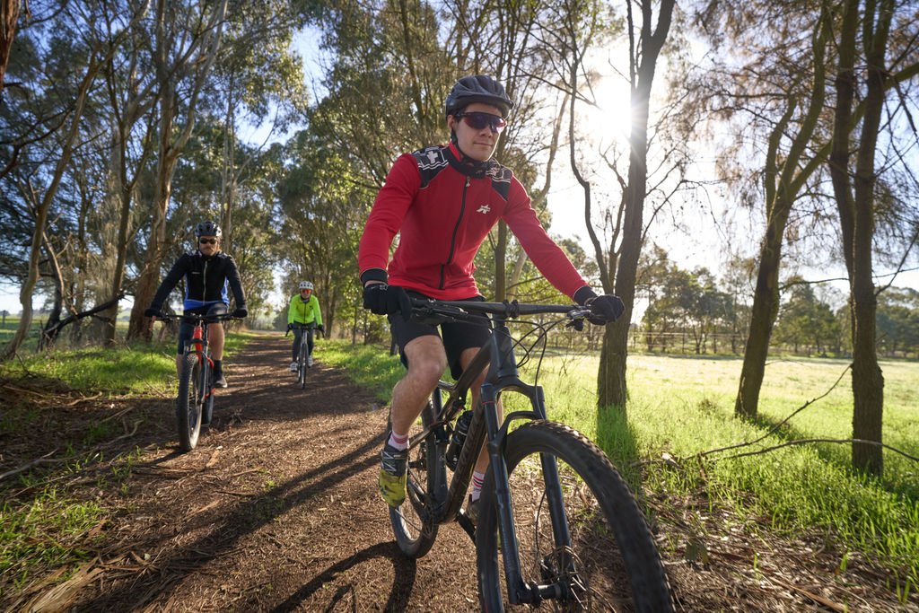
Light gradients and undulations through farmland shouldered by native vegetation and blessed with birdlife. Head into Cobden for refreshment and toilets via the lake.
Accessible (gravel)
Top Tips
Access shops and amenities via a short cut around Cobden’s central lake.
Look for signs around town telling the story of Cobden’s history and connection to the iconic Western Star Butter brand
-
Crushed gravel
Walk: Easy 2 - 3 hrs
Bike: 45 mins - 1 hr
A mix of farmland and native vegetation generally flat with 4 road crossings. Picnic tables at Glenfyne Hall.
Accessible (gravel)
Top Tips:
Take a 4km return side trip to Lake Elingamite for picnic tables, jetty and views from the crater rim.
-
Crushed gravel
Walk: Easy 15 - 30 mins
Bike: Easy 10 - 20 mins
A short farm edge section into taller timber with plenty of birdlife. Picnic facilities are available at Merretts rd, an ideal spot for a break.
Accessible (gravel)
Top Tips
Bird enthusiasts will notice a difference in the species and birdcalls between here and Timboon. It might be time to log your sightings on E-bird.
-
Crushed gravel, some rough and narrow sections, bridge bypasses and bridge crossings.
Walk: Moderate 1 hr - 1.5hrs
Bike: Challenging 30 mins - 1 hr
This section is a favourite for many with sleepers and tracks still in place. Walkers and riders are treated to moss and fern adorned trestle bridges and deep wet forest gullies. Tyre width greater than 32mm and some suspension recommended.
Limited Accessibility (gravel, mixed rougher surfaces and some steeper gradients)
Top Tips:
Allow plenty of time for stops in this section, soak up the beauty, scent and sounds of the forest.
-
Crushed gravel
Walk: Easy 1 hr 15 mins - 2 hrs
Bike: Easy 30 - 45 mins
Riders please dismount and walk bikes across the bridge, you will want to take in all the beauty of the picturesque gully shaped by the Curdies River.
Mostly Accessible (gravel, generally uphill with some moderate gradients)
Top Tips:
Enjoy views of the Trestle Bridge from below. Access to road level is available at both ends of the bridge. Enjoy a break near the banks of the Curdies river.
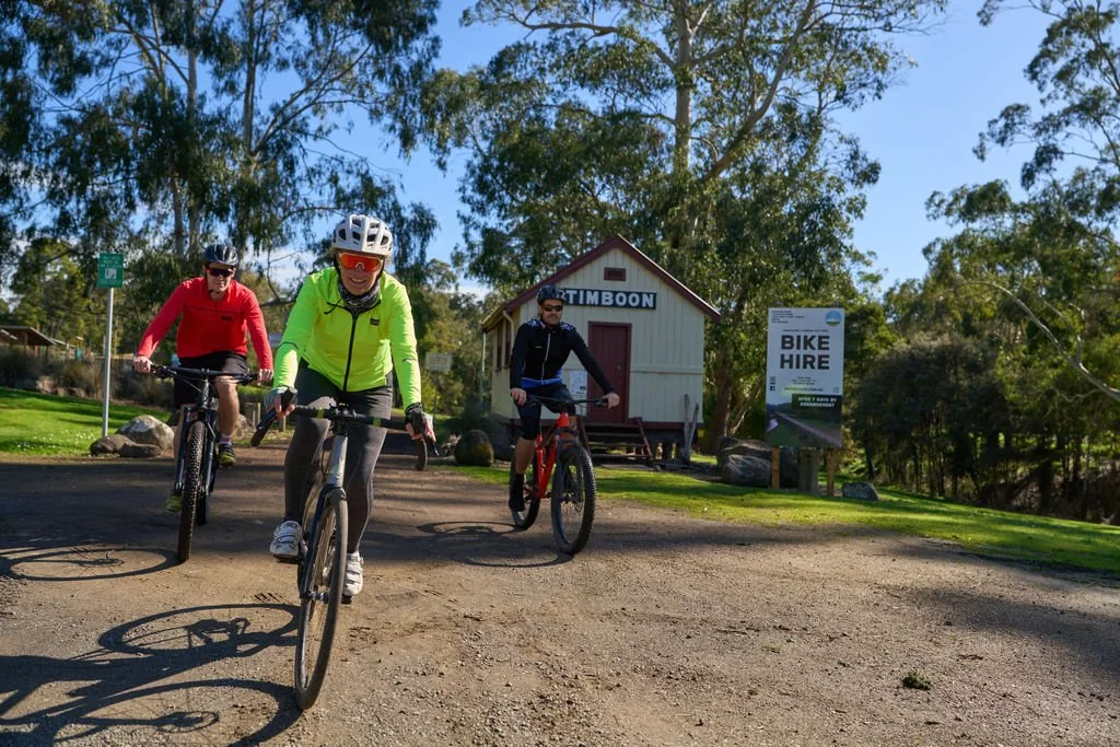
Welcome to Timboon the trailhead links directly to public toilets, gourmet treats and picnic and BBQ areas. A trail behind the shopping precinct links to the Timboon swimming pool and the beginning of Poorpa Yanyeen Meerreeng Trail Timboon to Port Campbell.
Trail Safety Considerations
Tell someone your plans.
The first 11km between Camperdown Station and Naroghid trailhead is on road and not recommended for walkers or inexperienced riders.
Know your limits and check your gear.
Be visible and use a taillight if riding on the road.
Prepare for weather, pack waterproofs & sunscreen.
Take water, snacks and a first aid kit.
Charge your phone.
Fully charge E-bikes (no recharge points).
Bring a puncture kit.
Carry a torch or bike light.
Trail users need to be aware of weather conditions and daily Fire Danger Rating. It is highly recommended trail users have the Emergency Vic app and the Emergency app downloaded on their phones.
In an emergency, call 000.
Keeping Trail Friendly
Respect private property, other trail users, environment and local communities.
Do not jump fences or open gates.
Do not disturb farm animals or stock.
No smoking, naked flames, or fires.
No camping.
Dogs on leads, please carry collection bags.
Take rubbish with you (bins in townships only).
Bike riders must wear helmets, dismount on bridges and trestle bridge bypass sections.
No motorbikes or unauthorised vehicles.
Pedal assisted e-bikes and scooters less than 250w permitted.
Give way to slower, more vulnerable users.
Horses are permitted on sections of this trail
No horses on bridges
No riding bikes across bridges.
Walk and Run Information
Sections between Camperdown Station and the Camperdown Botanic Gardens offer good walking and running opportunities. Also look to explore Mount Leura and Sugarloaf which has a fantastic network of trails suitable for walking and trail running.
It is advised that walkers do not walk on the section between the Camperdown Botanic Gardens and Naroghid. The road shoulder is narrow, sight lines are at times short and there is no footpath.
Rider Information
Be aware the first 11km section of the trail from Camperdown Station to Naroghid is “on road” and includes a challenging (but spectacular) descent and climb between Lake Bullen Merri and Lake Gnotuk. The road shoulder is narrow at times. Riders are advised to wear bright coloured clothing and riders switch on a rear tail light to make themselves more visible to other road users. Gradients in this section include descents down to - 9.6% at times and climbs topping out at 8.7%
Sections of the trail between Glenfyne and the Curdies Trestle Bridge are more challenging and are best suited to hybrid and mountain bikes with wider tyres and at least front suspension. Sections of trail between the old rail sleepers are bumpy and include bypasses around ruined trestle bridges that require a dismount and walking. Take your time and take it easy on these sections as these are among the most picturesque sections of the trail.
Accessibility
Sections of the trail from Naroghid to Cobden, Cobden to Glenfyne, Glenfyne to Merrett’s Road and Curdies Trestle Bridge to Timboon have gradients and surfaces that would make it suitable for adaptive cycling, prams with pneumatic tyres, mobility scooters, motorised and self propelled wheelchairs that are suitable for gravel surfaces.
The trail between Merretts Road and Curdies Trestle Bridge is challenging, but may be suitable for more experienced adaptive cyclists.
Individual sections of the trail have been graded as:
Accessible – 2.5m paved and rollable boardwalk sections and wider gravel sections with gradients (less than) 3%
Mostly Accessible – Wider gravel sections with sectional gradients between 3% and 5%
Limited Accessibility – May be suitable for adaptive cyclists on equipment designed for mountain bike trails.
Nearby Highlights and Trails